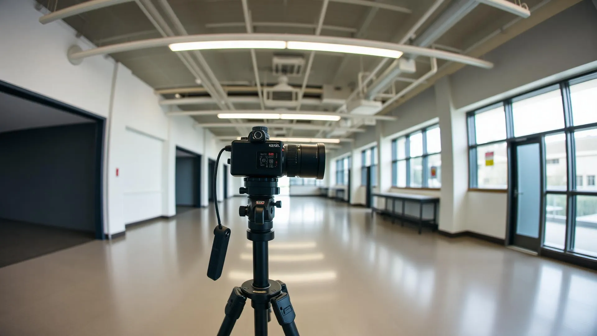
Matterport 3D Virtual Floorplans
A Measurable Digital Twin of the Building You Already Own
A Matterport 3D virtual floorplan is a navigable digital copy of your building, captured on site and paired with a dimensioned floor plan. You walk the property in a browser, take measurements from the model, and share one link with your architect, broker, contractor, or prospective tenant instead of scheduling another site visit.
We capture the space as it exists today, not as the original drawings say it should be. That distinction matters most on older assets, repositioned buildings, and properties where tenant improvements were never recorded. The scan becomes the reference everyone works from, and the measured floor plan drawn from it becomes the document your permit set, lease exhibit, or renovation budget is built on.
In our experience, the owners who get the most value from this are the ones carrying multiple assets with incomplete drawing sets. One capture visit replaces a folder of site photos, a tape measure sketch, and a lot of guessing.
Request a QuoteWhat You Actually Receive
The Matterport model is the visible part, but the deliverable set is broader than the walkthrough. We scope every project around what you plan to do with it, because a leasing package and a construction set need different things.
- —A hosted, link-shareable 3D digital twin you can open on any browser or phone, with no software to install.
- —A dollhouse and schematic floor plan view for quickly explaining the layout to people who do not read drawings.
- —Dimensioned 2D floor plans drafted from the scan data in CAD, Revit, or PDF.
- —Panoramic imagery pinned to the rooms it was captured in, so conditions are documented visually as well as dimensionally.
- —Optional BOMA rentable area calculations when the plans will drive lease terms.
Where a Matterport Scan Is the Right Tool
Scanning is a strong fit when a space is complex, occupied, geographically distant, or about to change. It is less useful when you need survey-grade structural or site topography data, or when the only question is a single dimension you can confirm in five minutes.
We will tell you when a conventional field measure is the better spend. Recommending a scan you do not need is a fast way to lose a repeat client.
- —Office buildings and multi-tenant floors with a long history of tenant improvements.
- —Retail centers and restaurant spaces being re-leased or converted.
- —Warehouse, industrial, and flex properties where clear heights and equipment locations drive value.
- —Medical and professional buildings that need dependable records of existing conditions.
- —Assets under contract, where a buyer needs to understand the building without repeated tours.
How Pricing Works
Every project is quoted at a fixed price so there are no surprise line items later. Cost is driven by square footage, layout complexity, the number of sites, and the deliverables you need beyond the model itself. Portfolio programs are priced as a program, not one building at a time.
Tell us the square footage, the property type, and what you plan to do with the drawings, and we will put a proposal in front of you.
Go Deeper
Three short guides covering the capture process, the leasing and asset management case, and how scanning fits a redevelopment or repositioning program.
Frequently Asked Questions
How long does a Matterport capture take?
Most commercial properties are captured in a single visit. Scan time depends on square footage and how partitioned the space is, and processing follows afterward. For standard asbuilt deliverables our typical turnaround is 5 to 7 days after project acceptance.
Do we need to close the building or move people out?
No. The equipment is compact and the process is quiet, so we routinely scan occupied offices, operating restaurants, and active warehouses. We schedule around your hours when foot traffic would interfere with capture.
How accurate are measurements taken from the model?
Measurements pulled from the model are reliable for planning, leasing conversations, and early budgeting. When a drawing needs to carry construction or lease-area accuracy, we produce the dimensioned floor plan from the scan data with our standard field verification, which is what we recommend for permit sets and BOMA work.
Can we get CAD or Revit files, not just the 3D model?
Yes. The model is the capture; the drawings are the deliverable most owners keep using. We produce CAD, Revit, and PDF plans from the scan in whatever format your design and construction teams work in.
Who can we share the model with?
Anyone you send the link to. There is no software to install and it opens on desktop and mobile, which is why brokers, lenders, insurers, and contractors tend to end up in the same model.